
Mapping informal waterfront settlements at risk of demolition
Mapping informal waterfront communities in the Niger Delta facing the threat of demolition.
Our proposal to serve as geospatial and technical-assessment partner to CAPws on an ecosystem-based adaptation project for mangroves and coastal communities in the Niger Delta and Gulf of Guinea.
The project would build community-generated and scientific evidence on ecosystem vulnerability and climate risk at three coastal sites. That evidence then underpins capacity building, state adaptation frameworks and a pipeline of investment concepts.
We proposed to pair open satellite data with community knowledge, so that every map can be checked on the ground and every community observation has a location.
Mapping informal waterfront communities in the Niger Delta facing the threat of demolition.
 Social impact
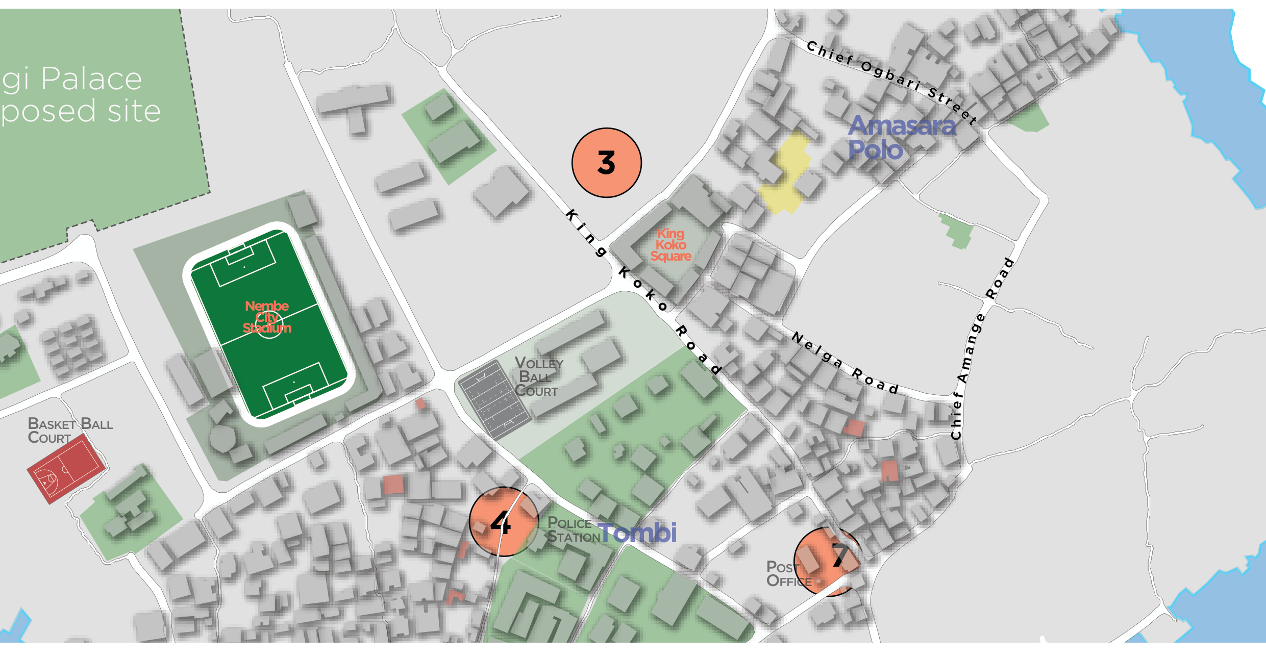
Pro-bono community mapping of landmarks, public facilities and points of interest on Nembe Island.
Geospatial support to environmental impact management following the KS Endeavor incident at Koloama.