
Mapping informal waterfront settlements at risk of demolition
Mapping informal waterfront communities in the Niger Delta facing the threat of demolition.
Geospatial input to flood-vulnerability planning for Port Harcourt under the U.S. Department of State's MAP PH project.
Mapping informal waterfront communities in the Niger Delta facing the threat of demolition.
 Social impact
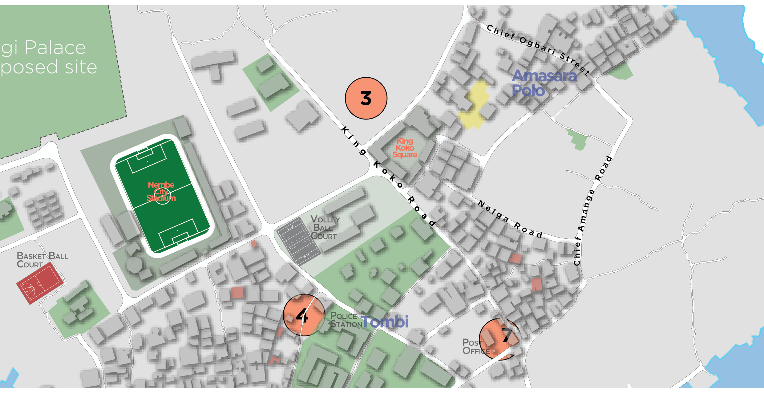
Pro-bono community mapping of landmarks, public facilities and points of interest on Nembe Island.
Geospatial support to environmental impact management following the KS Endeavor incident at Koloama.