
Mapping informal waterfront settlements at risk of demolition
Mapping informal waterfront communities in the Niger Delta facing the threat of demolition.
A proposal to map air quality across Port Harcourt for the Rivers State Ministry of Environment. The project was not carried out.
Mapping informal waterfront communities in the Niger Delta facing the threat of demolition.
 Social impact
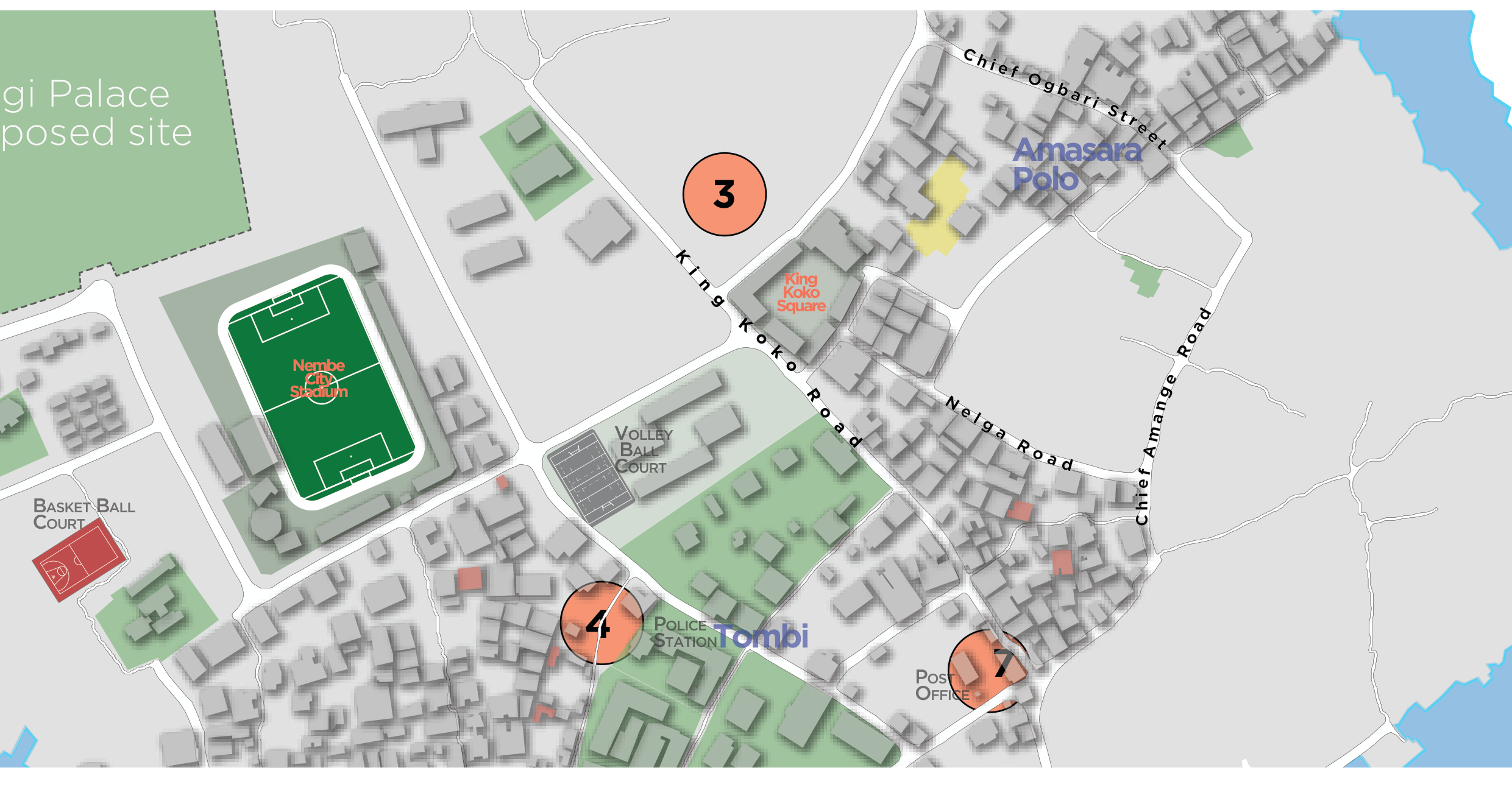
Pro-bono community mapping of landmarks, public facilities and points of interest on Nembe Island.
Geospatial support to environmental impact management following the KS Endeavor incident at Koloama.